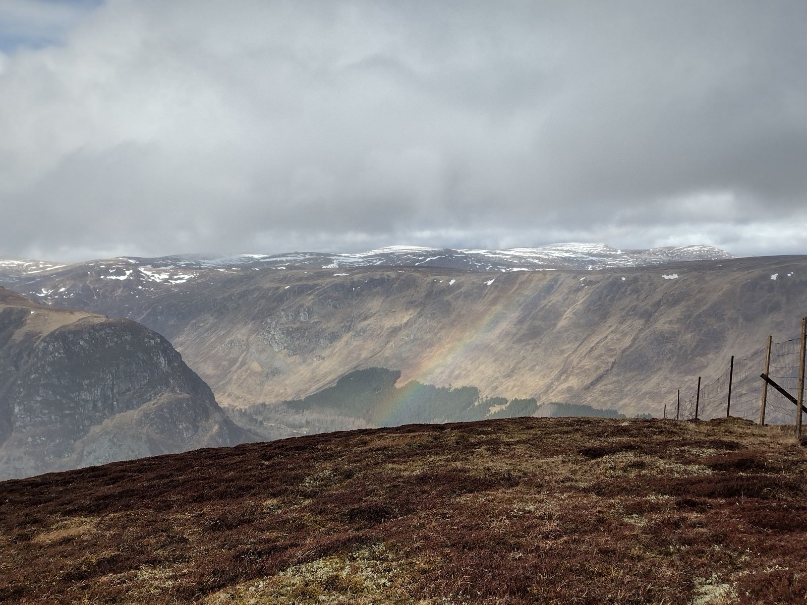
The SGDMG area is characterized by high, mountainous terrain within the southern part of the Grampian mountains, extending from Upper Deeside down through several of the very fertile Angus Glens to farmland to the north of Alyth and Kirriemuir. There is a full range of agricultural, woodland and sporting objectives, including fishing and water catchment management, with both private and public owners. The northern half of the DMG area lies within the Cairngorms National Park.
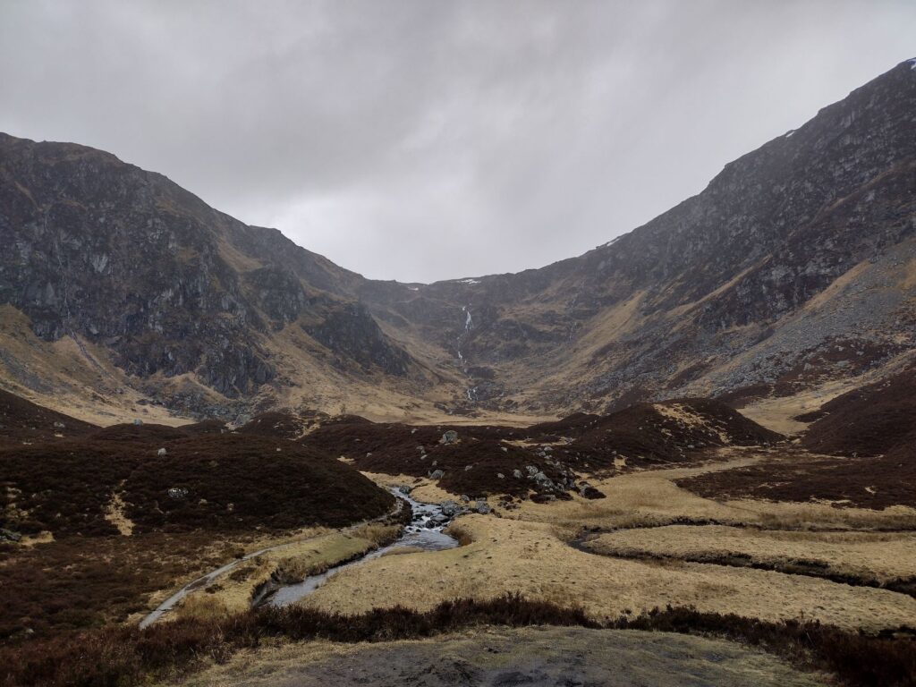
There are a number of designated sites within the area, of which the Caenlochan SSSI/ SAC site is especially important, and has driven management within the wider area for many years. Caenlochan Glen can be noted in the photo above. This is a large upland site, designated for a wide range of mountain habitats. However, there is a cluster of such sites within the DMG area including the Glen Callater SSSI and the Garbh Choire SSSI site, as well as the smaller Fafernie SSSI, Red Craig SSSI and, further to the south of the area, the Crossbog Pinewood SSSI site. The Corrie Fee National Nature Reserve, below, lies within the wider Caenlochan SSSI/ SAC area, accessed through Glen Doll, and is an important and popular visitor attraction as well as being a very valuable upland site from a conservation perspective.

The DMG area is notable for being part of the catchment area of three important rivers which are all designated to an SAC level. These are the River Tay SAC, the River Dee SAC and the River South Esk SAC, tributaries of which arise within the SGDMG area. All of these designations can be noted on the SG Designated Sites Map.
The Cairngorms National Park boundary can be noted on the SG Landscape Designations map.


